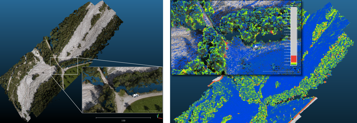
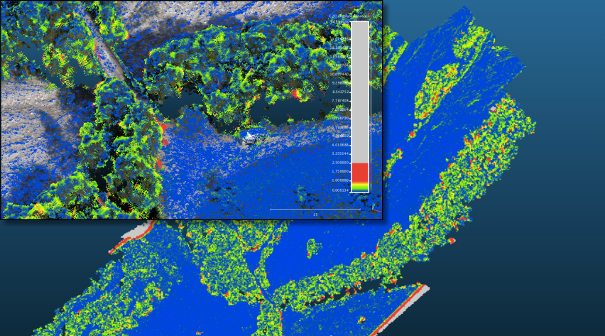
Two well known commercial Photogrammetry Software Suites, Agisoft Photoscan and Pix4D Pix4Dmapper have been compared to a Opensource product called Visual SFM with PMVS plugin. The Results showed about the same amount of point density for the two commercial products, with VSFM behind. The detail of rendering from Pix4D is inferior to Agisoft, espacially in the term of roughness of the produced point cloud. A ground sampling distance of 2,5 cm has been estimated with Pix4D which is competitive to Lidar workflows.
Objective
The main objective of the project was to compare the output quality of different Software products based on the same input dataset. Quality was rated in terms of the local density of the point cloud, point distances compared to the other products and the roughness of the cloud, representing the modeling detail. Ease of use and the ability in Georeferencing was rated as well.
Method
The input dataset consisted of 34 aerial images of an alpine riverbed in Obermieming / Tirol made from an UAV [flight height ~ 95m above ground] and 6 corresponding ground control points measured with differential GPS. A dense pointcloud has been produced in each case, using the integrated georeferncing tools as well. The datasets have been imported to the Software CloudCompare to evaluate the quality of the output by comparing each result with the other ones.
Results
Agisoft and Pix4D modeled about the same extent, with better results in vegetated areas from Pix4D. VisualSFM did only model the unvegetated areas with unsatisfying results in the vegetated areas.

For further reading see attached Poster.
